Quick answer: The best hikes within reach of Las Vegas are spread across four main areas: Red Rock Canyon (20 minutes from the valley), Mt. Charleston (45 minutes, thousands of feet cooler in summer), Valley of Fire (55 minutes, requires early arrival), and Lake Mead (30-40 minutes). The Historic Railroad Trail at Lake Mead is the most underrated local hike. Turtlehead Peak at Red Rock and Fire Wave at Valley of Fire are the two that reward the effort most completely.
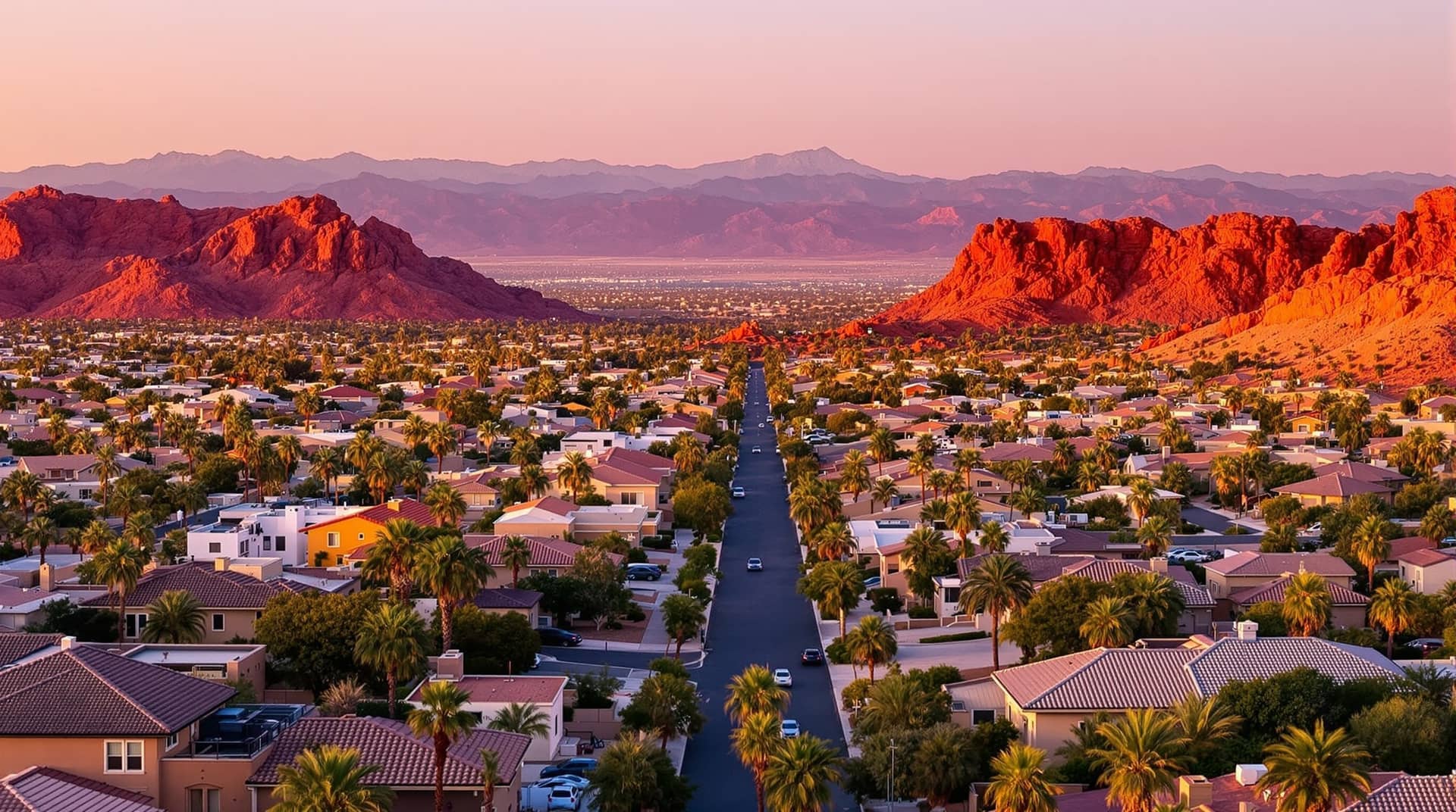
Las Vegas locals have a hiking situation that most cities would envy and that most outsiders completely misunderstand. The assumption is that a desert city means flat, featureless, and hot. The reality is that within an hour of downtown Las Vegas, you can be standing on a 12,000-foot summit in a bristlecone pine forest, scrambling through a slot canyon in 300-million-year-old Aztec sandstone, or walking through a red rock landscape that looks like someone turned the color saturation up past what the eye believes is possible.
The challenge is knowing which hikes are worth your time and which ones you can skip. Locals develop opinions about this over years of going out. This guide reflects those opinions honestly.
Red Rock Canyon: The Backyard
Red Rock Canyon is 20 minutes from most of the valley. It has a timed entry reservation system for the scenic loop (reserve at Recreation.gov, $15/vehicle or $35 annual pass). On weekends, arrive before 7am or parking at popular trailheads becomes a real problem. For a deeper dive into using the park like a local, including parking strategy and the annual pass math, read the Red Rock Canyon locals guide.
Calico Tanks
Distance: 2.5 miles round trip Elevation gain: 400 feet Difficulty: Moderate Best season: October through April Parking: Calico I/II lot (fills by 8am on weekends)
Calico Tanks threads through the dramatic red and white stripes of the Calico Hills and ends at a natural water tank carved into the rock. On a clear winter morning, with the Las Vegas skyline visible in the distance and the canyon walls catching the first light, this is one of the best 2.5 miles you can hike in the American Southwest. The trail itself is well-marked but requires some scrambling on the upper section. It is popular because it earns its reputation, but the crowds are real on weekend mornings.
Local verdict: Do it early on a weekday in October or November and it is one of the best hikes in Nevada. Do it at 10am on a Saturday in March and you are sharing the trail with seventy people and parking on the shoulder of a road.
Turtlehead Peak
Distance: 4 miles round trip Elevation gain: 1,800 feet Difficulty: Strenuous Best season: November through March Parking: Sandstone Quarry lot
Turtlehead is the serious hike at Red Rock. The summit sits at around 6,300 feet and delivers a full panoramic view of the valley, the Spring Mountains, and the Mojave Desert stretching south. The elevation gain is sustained and steep on the upper section, with some scrambling below the peak. This is a legitimate workout, not a nature walk.
Locals do Turtlehead in winter and early spring. Attempting it in May or later is a bad idea. In July it is dangerous. Go in December on a clear day and the summit views are genuinely extraordinary.
Local verdict: One of the best hikes in the Las Vegas area, full stop. Not for beginners. Do not attempt in summer.
Keystone Thrust
Distance: 2.4 miles round trip Elevation gain: 400 feet Difficulty: Moderate Best season: October through April Parking: Keystone Thrust trailhead lot (less crowded than Calico)
Keystone Thrust follows the geological fault line where younger gray limestone was pushed over older red sandstone roughly 65 million years ago. The visual effect is striking: you walk through a boundary between two completely different rock types and two completely different geological eras. The trail is less trafficked than Calico Tanks because it sits further into the loop, which is exactly why regular Red Rock visitors tend to prefer it.
Local verdict: A better introduction to Red Rock geology than any of the roadside viewpoints, and less of a crowd situation than Calico. Underrated.
Ice Box Canyon
Distance: 2.5 miles round trip Elevation gain: 500 feet Difficulty: Moderate to strenuous (boulder scrambling at end) Best season: October through May; summer mornings possible due to shade Parking: Ice Box Canyon lot
The canyon walls close in and shade the trail almost entirely, making Ice Box Canyon dramatically cooler than any exposed Red Rock trail. In a wet year, a seasonal waterfall appears at the canyon's end. The final section involves real boulder scrambling. This is the one Red Rock trail that is workable on a summer morning if you start at sunrise and turn around before the sun gets high.
Local verdict: Good for people who want something more adventurous than a standard trail. Unique in the park for summer viability.
Mt. Charleston: The Heat Escape
The Spring Mountains above the valley top out at 11,918 feet at Charleston Peak. The trailheads sit between 7,000 and 8,500 feet. In July, when the valley floor is 115 degrees, it is commonly 30-40 degrees cooler up top. This is not a coincidence locals ignore. Mt. Charleston is where the valley goes when summer becomes physically oppressive.
The drive from the valley is 45 minutes to an hour depending on where you start. Kyle Canyon Road (NV-157) and Lee Canyon Road (NV-156) are the two access routes.
Mary Jane Falls
Distance: 2.8 miles round trip Elevation gain: 1,100 feet Difficulty: Moderate Best season: May through October; can have snow into spring Parking: Mary Jane Falls trailhead, Kyle Canyon Road
Mary Jane Falls is the most accessible genuinely rewarding hike on the Charleston side of the mountain. The trail switchbacks through ponderosa pine and white fir forest to twin seasonal waterfalls tucked into a limestone alcove. In spring and early summer, when snowmelt is still feeding the falls, the payoff is real. In late summer, the falls slow to a trickle, but the forest and the temperature alone justify the drive.
Local verdict: The standard recommendation for locals who want to bring out-of-town visitors somewhere impressive that isn't a casino. Works from May through September. Crowded on summer weekends.
Cathedral Rock
Distance: 3 miles round trip Elevation gain: 1,100 feet Difficulty: Moderate to strenuous Best season: May through October Parking: Cathedral Rock trailhead, Kyle Canyon Road
Cathedral Rock has a longer summit plateau with views across Kyle Canyon and toward the desert below. The trail gains elevation steadily through mixed conifer forest. The summit sits at around 8,700 feet and gives a genuine sense of the mountain's scale relative to the valley. Less crowded than Mary Jane Falls despite being close in distance.
Local verdict: A better workout than Mary Jane Falls and better views at the top. Often overlooked because Mary Jane Falls gets the name recognition.
Charleston Peak Summit Trail
Distance: 17 miles round trip (or 8.5 miles one way with a car shuttle) Elevation gain: 3,900 feet Difficulty: Strenuous Best season: July through September (snow covers upper sections other months) Parking: South Loop trailhead, Kyle Canyon area
The full summit hike is a serious alpine undertaking. The trail spends its upper miles above treeline in bristlecone pine territory, and the summit views extend across Nevada, California, and Utah on a clear day. This is a long day hike or an overnight. Most locals who do it go in July or August when the summit is reliably snow-free.
Local verdict: One of the great day hikes in Nevada. You need to start before dawn for a single-day round trip. Reserve this for experienced hikers with full gear.
Valley of Fire: The One That Looks Like Another Planet
Valley of Fire State Park is 55 miles from Las Vegas, about an hour's drive. It is a Nevada State Park ($15/vehicle day use fee). The geology here is Aztec sandstone, the same stuff as Red Rock, but the colors are more intensely orange and red, and the formations are more varied. The park is genuinely one of the most photogenic landscapes in the American West.
Valley of Fire has a heat problem. It sits at lower elevation than Red Rock and has no shade. From late May through early October, midday temperatures inside the park can exceed 120 degrees. Locals visit in winter and early spring. People who go in July because they saw the photos on Instagram and didn't check the temperature are making a genuine mistake.
Fire Wave
Distance: 1.5 miles round trip Elevation gain: 130 feet Difficulty: Easy to moderate Best season: October through April Parking: Fire Wave trailhead, Valley of Fire Highway
Fire Wave is a bare sandstone formation with layered bands of orange, red, and pink that look more painted than natural. The hike is short and easy. The destination is extraordinary. This is the most photographed spot in Valley of Fire and it earns the attention. There are no trail markers on the sandstone itself; you navigate by staying on the rock and heading toward the formation.
Local verdict: Worth the drive. Do it at sunrise in winter for the best light and zero crowds. Midday is pleasant in November through February.
White Domes Loop
Distance: 1.25 miles loop Elevation gain: 100 feet Difficulty: Easy Best season: October through April Parking: White Domes trailhead, far end of the park
White Domes sits at the far end of the park and combines a canyon slot section with open wash and unusual white and red sandstone formations. The canyon section is narrow and involves some minor scrambling. It is a short loop but more varied terrain than most of the other trails in the park.
Local verdict: If you make the drive to Valley of Fire, include both Fire Wave and White Domes. They are the two best trails and they complement each other well.
Lake Mead Area: The Underrated One
Lake Mead National Recreation Area starts about 30 minutes from downtown Las Vegas. Most locals think of it as where you go to boat or swim, but the hiking is genuinely good and largely overlooked.
Historic Railroad Trail
Distance: Up to 7.6 miles one way (most people do 2-4 miles out and back) Elevation gain: Minimal Difficulty: Easy Best season: October through April; possible year-round with early start Parking: Historic Railroad Trail trailhead, near Hoover Dam visitor area
The Historic Railroad Trail follows the old rail bed used to deliver materials to Hoover Dam during construction in the 1930s. The route passes through five railroad tunnels that are fully intact and open to walk through. The views of Lake Mead and the Black Canyon from the trail are excellent. This is an easy, flat trail that feels like discovery: most people visiting Hoover Dam have no idea the trail exists.
Local verdict: The most underrated hike in the Las Vegas area. Easy enough for any fitness level, interesting enough for people who want more than a nature walk. The tunnels are genuinely impressive.
Sloan Canyon: The Petroglyphs Nobody Talks About
Distance: 3 miles round trip to main petroglyph panels Elevation gain: 300 feet Difficulty: Easy to moderate Best season: October through April Parking: Sloan Canyon trailhead, Henderson area
Sloan Canyon National Conservation Area sits in Henderson, 20 minutes from the Strip. The canyon walls hold one of the largest concentrations of Native American petroglyphs in the Mojave Desert, with over 1,700 individual images. The hike follows a dry wash through low desert scrub to the canyon. There is essentially no signage pointing locals toward this place, which is exactly why it remains quiet.
Local verdict: A genuinely special place that almost nobody in Las Vegas knows exists. Go in the morning in winter. Bring binoculars for the upper petroglyph panels.
Desert Hiking Basics for Las Vegas Residents
A few things that are worth saying plainly because heat-related incidents on local trails happen every summer.
Water: bring twice what you think you need. The desert air is dry enough that you lose moisture faster than you feel thirsty. For a 3-mile hike in mild weather, 2 liters is a minimum.
Timing: in the valley from May through September, any hike with significant sun exposure should be completed before 9 or 10am. Mt. Charleston and Valley of Fire have different rules; Charleston is essentially summer-safe due to elevation, Valley of Fire is not.
Footwear: trail runners are fine for the maintained trails at Red Rock and Mt. Charleston. The scrambling sections of Ice Box Canyon and the boulder approaches on some Charleston trails benefit from hiking boots with ankle support.
Permit and fee awareness: Red Rock requires a reservation for the scenic loop. Valley of Fire charges a day use fee. Lake Mead NRA requires a fee (or America the Beautiful pass). Sloan Canyon and the trailheads outside the Red Rock fee area are free.
FAQ
What is the best hike near Las Vegas for beginners?
The Historic Railroad Trail at Lake Mead is the best beginner hike in the area: flat, interesting, accessible year-round with an early start, and free with an America the Beautiful pass. For beginners who want a Red Rock experience, the Calico Hills walk near the Calico trailheads is a manageable introduction with dramatic scenery.
Can you hike near Las Vegas in summer?
Mt. Charleston is fully hikeable in summer and is one of the best escapes from the valley heat. Mary Jane Falls and Cathedral Rock are both reasonable summer hikes. At Red Rock, early morning hikes on shaded trails like Ice Box Canyon are possible. Valley of Fire and exposed trails at lower elevation should be avoided from May through September.
How far is Valley of Fire from Las Vegas?
About 55 miles, roughly one hour from the Strip. The drive on NV-169 through the Moapa Valley is scenic in its own right. Plan a half-day minimum, or combine it with a visit to the Valley of Fire visitor center.
What is the hardest hike near Las Vegas?
Turtlehead Peak at Red Rock Canyon (1,800 feet of gain) and the Charleston Peak Summit Trail (3,900 feet of gain) are the two most demanding. The Charleston Peak summit trail is significantly longer and involves alpine terrain. Both require good physical conditioning and an early start.
Do you need a permit to hike at Red Rock Canyon?
A timed entry reservation ($15 per vehicle) is required to access the scenic loop during peak hours. Some trailheads outside the fee area, including First Creek Canyon and Sloan Canyon, do not require reservations or fees. The $35 annual pass is a better deal for anyone planning multiple visits.
Keep reading
- David Reyes Built VegasRebuild After a $34,000 Mold Disaster in SummerlinA Summerlin software engineer's monsoon flooding nightmare led him to create Las Vegas's most thorough restoration contractor directory. Here's his story.
- Free Things to Do in Las Vegas for Locals (Not the Strip)What Las Vegas residents actually do for free: parks, hiking, First Friday, farmers markets, library events, and community programs off the Strip.
- Red Rock Canyon Locals Guide: What Tourists MissThe real Red Rock Canyon experience for Las Vegas locals. Best trails, parking reality, when to go, and why the annual pass pays for itself.
- 97 Degrees in March: Your Las Vegas AC Needs AttentionLas Vegas just broke its all-time March heat record. Your AC has been sitting since fall. Here is what to check before it lets you down this weekend.